Webshots
The best desktop wallpaper.
50+ free wallpaper/screen saver photos to start!
We also have great screen savers!
Get StartedFree Desktop Wallpaper
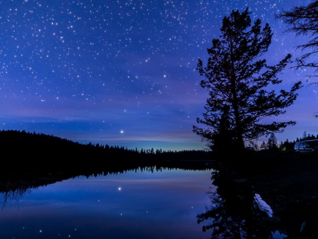
Night Sky, Roche Lake, Canada
Features
Webshots has over 5000 high resolution photos available
Photos of: Architecture, Beaches, Islands, Landmarks, Mountains, Nature, National Parks, Waterfalls, Africa, Asia, Europe, Animals, Birds, Dogs, Cats, Flowers and more!
Locations from all over the world!
Easy to use application included for setting your Desktop Wallpaper, running beautiful Screen Savers, and creating Playlists of your favorite photos
Screen saver settings for dramatic viewings
Group photos by season or activity
Also included, a Webshots Desktop Wallpaper calendar!
Reviews
"I have enjoyed the pictures for the last 10 + years."
"Great photos and easy to use!"
"I get to travel to a different part of the world every day!"
"I love the variety of photos I can select for the desktop and screensaver."
"I love webshots and have had it since 2001. The pictures are beautiful!"